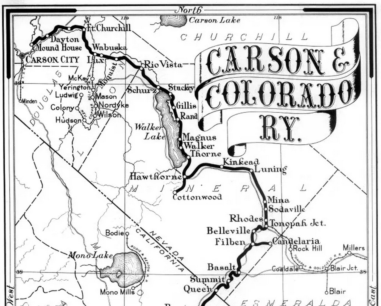
1890 Completion: The spur was constructed specifically to tap into the timber resources of Cottonwood Canyon.
The wood was brought back to Hawthorne to fuel C&C's locomotives.
1902 Abandonment: The branch only lasted until August 1902. It became completely obsolete once the Southern Pacific Company (which bought the C&C in 1900) began converting its locomotive fleet from wood-burning to coal and oil.
... When the Southern Pacific Railroad standard-gauged its track from Mound House to Mina in 1903-05
1905 Total Realignment: Between 1903 and 1905, The main tracks south of Walker Lake were standard-gauged and entirely realigned. This project completely bypassed Hawthorne and its old branches, routing through a new junction called Thorne.
Today the original track has long been dismantled, but remnants of the old right-of-way sit on the edge of the sprawling Hawthorne Army Depot. History buffs exploring the area can still visit the original Carson and Colorado Railroad Freight Depot in downtown Hawthorne, which was the first building ever constructed in the town in 1881.
Place Name: Mineral County
Place Description: State: Nevada
Elevation: 11,280 Feet
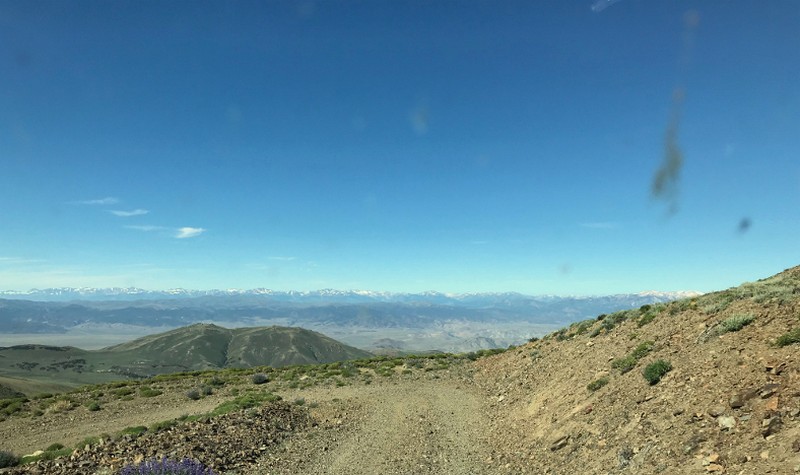
Road to summit is has steep cliffs on shoulder, drive cautious
Extra work to get a permit (but not that hard)
Typically when planning a summer trip, Hawthorne, NV does not top the list. Or make the top 10, or even 100. There is not much to do out this way except for fishing Walker Lake. However, there is a real treat towering over the small town.
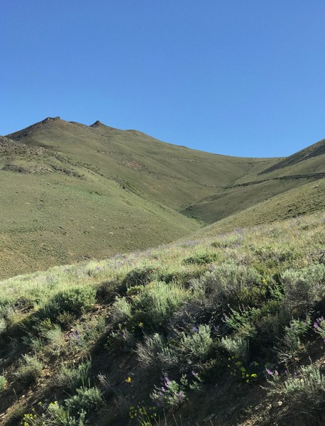
The 11,280-foot Mount Grant dominates the views here. This mountain is not just tall, but with almost 4,000 feet of prominence, it really does look like a giant. Hawthorne is only about an hours away from Bridgeport, CA.
This would actually make a great side trip if you were staying in Lee Vining or Bridgeport. We decided to stay in town and found very clean rooms at $80 per night at the Travel Lodge in Hawthorne.
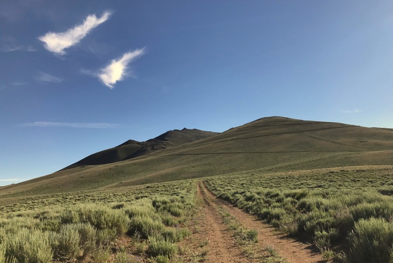
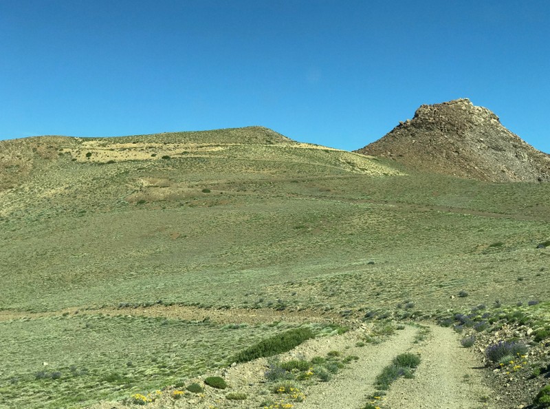
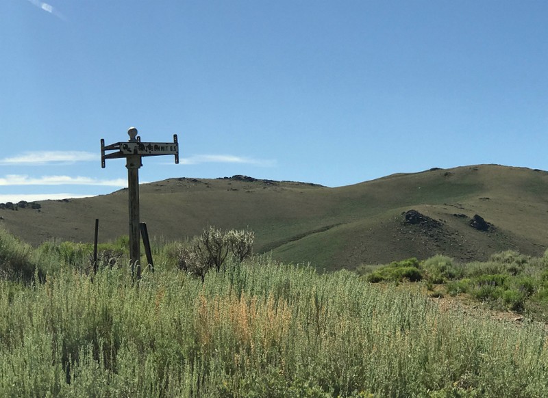
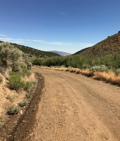
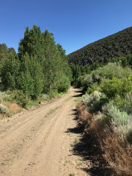
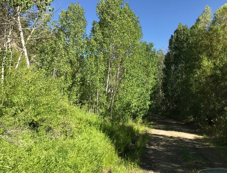
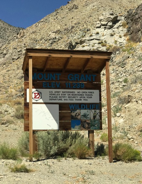
The early stages passed through a canyon filled with willows, aspens, and a few old structures from yesteryear. Around mile 9, you enter very high and wide open country. There is an old rusted sign that says Mount Grant and points to the left.
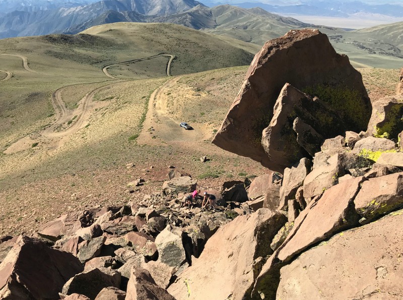
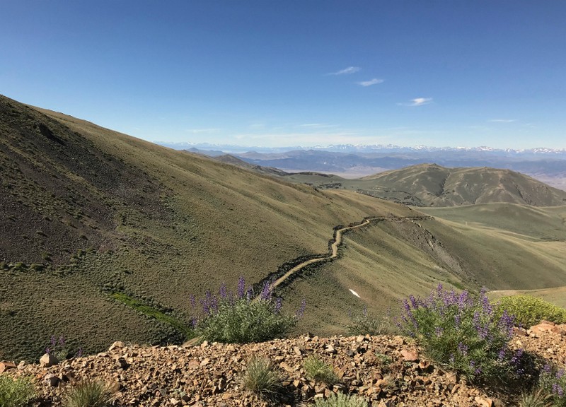
You will be able to see the steep switchbacks snaking all the way up. This part of the road remains graded well and with the exception of a few small sized rocks on the road (which could be moved), high clearance is never required. However, if you have a fear of heights, this road may make your knees shake.
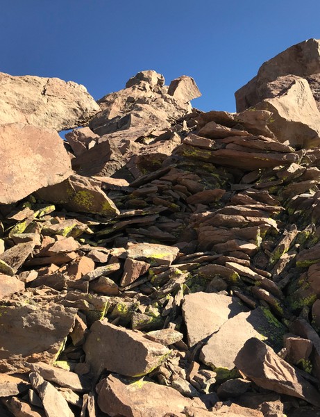
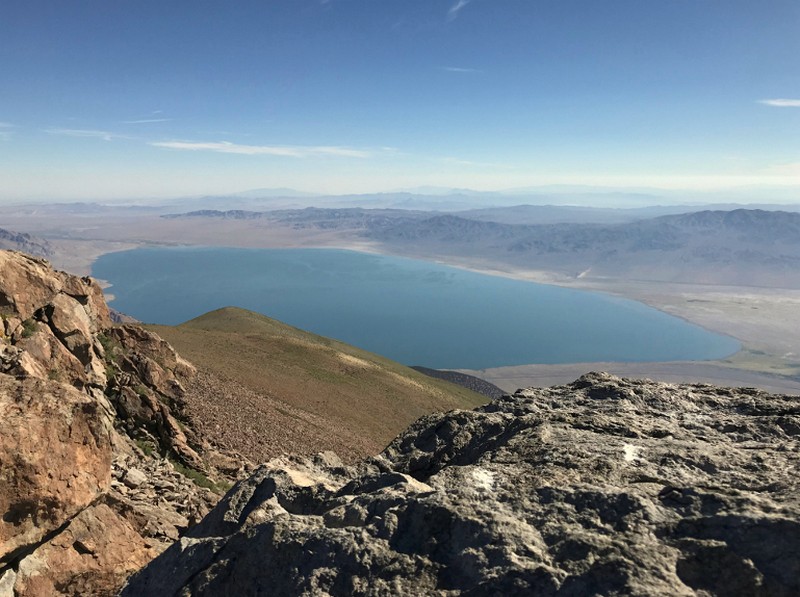
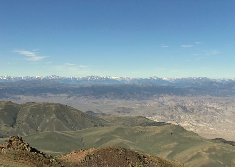
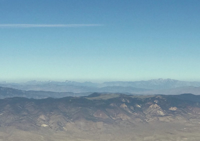
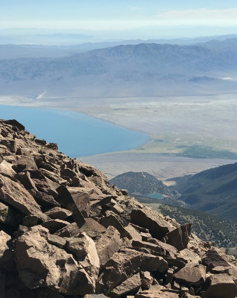
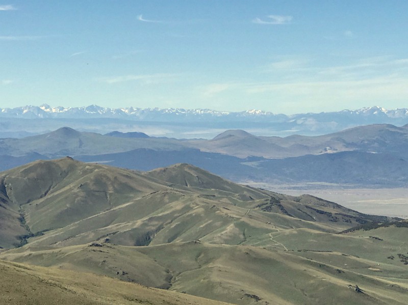
The rock gets larger the higher you climb and to make the summit, it goes from Class 2 to Class 3 scrambling but nothing too difficult. I didn't let my small kids go up the last 50 feet or so. The views from the top are nothing short of fantastic. To the west, you can see the Sierras from down past Yosemite all the way up the Carson Pass area, punctuated by Hawkins Peak. The view of the Sweetwaters to the west are beautiful as well. To the east, the sun was still glaring, so the views were not as clear, but many Great Basin summits popped into view. Walker Lake directly below was breathtaking.
The drive up and down take about an hour each way, so make sure to plan for this. Wildlife is abundant. Unfortunately we did not see the bears that have been frequenting the area or any deer. Although the real treat was seeing 4 Bighorn Sheep rams down near the gate. We also spotted chukar and quail bursting out of the sage brush.
If you are into big views, wildlife, and solitude, this is a trip not to be missed. If driving up most of the way feels like a cheat, you can participate in the 9/11 Memorial Mt. Grant Challenge each September. This would require 17 miles of hiking and 7,000 feet of elevation gained.
